File:Inkerman_33_(8709967741).jpg · Wikimedia Commons · See Wikimedia Commons
Key facts
- Settlement.settlement_type
- City
- Settlement.subdivision_type
- Country
- Settlement.subdivision_name
- Disputed:
- Settlement.subdivision_type1
- Autonomous republic
- Settlement.subdivision_name1
- Crimea (de jure)
- Settlement.timezone
- MSK
- Settlement.utc_offset
- +4
- Settlement.official_name
- Inkerman
- Settlement.image_skyline
- Inkerman_33_(8709967741).jpg
- Settlement.image_caption
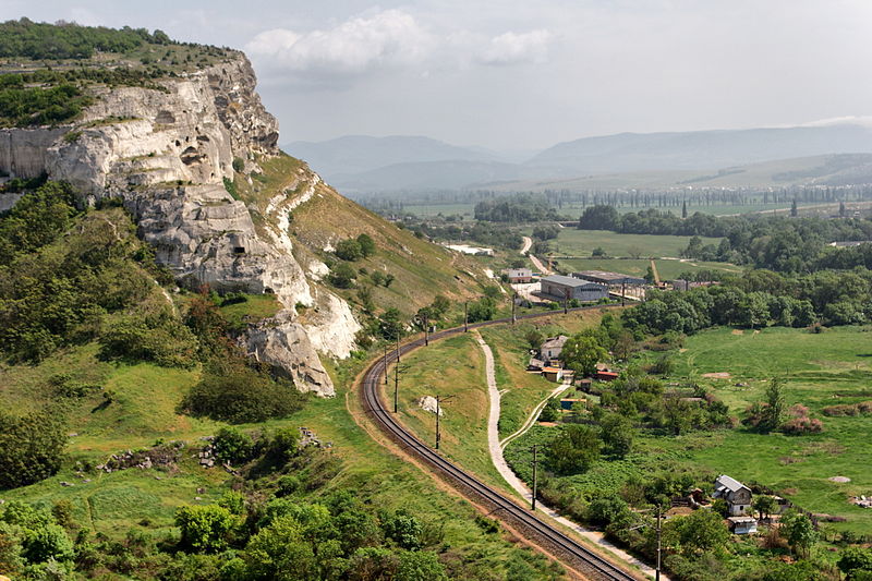
- The urban areas on the west bank of the Chorna River have been converted into rural settlements
- Settlement.image_shield
- COA Inkerman, Sevastopol.svg
- Settlement.image_flag
- FLA Inkerman, Sevastopol, Ukraine.svg
- Settlement.pushpin_map
- Crimea
- Settlement.pushpin_map_caption
- Location of Inkerman within Crimea
- Settlement.elevation_m
- 50
- Settlement.population_total
- 10348
- Settlement.population_as_of
- 2014
- Settlement.postal_code_type
- Postal code
via Wikipedia infobox
Wikidata facts
- Country
- Ukraine
- Population
- 13604
- Area
- 2
- Elevation
- 50
- Time zone
- UTC+03:00
- Image
- Inkerman-c1910.jpg
- Dialing code
- 92
Show 8 more facts
- Commons category
- Inkerman
- topic's main category
- Category:Inkerman
- Commons gallery
- Inkerman
- described by source
- The Nuttall Encyclopædia
- postal code
- 99703–99709
- different from
- Inkerman
- on focus list of Wikimedia project
- WikiProject Ukraine
- P8168
- Shapingba District
via Wikidata · CC0
Article · Polski
Inkerman (ukr. Інкерман, krm. İnkerman, ros. Инкерман) – miasto na Ukrainie, położone na Krymie, należące do miasta wydzielonego Sewastopol, położone 5 kilometrów na wschód od Sewastopola; liczy 10 tys. mieszkańców (2006). W latach 1976-1991 nazywało się Biłokamiańsk (ukr. Білокам'янськ). Na obrzeżach miasta znajdują się dwa zabytkowe kompleksy średniowieczne: twierdza Kałamita i zespół skalnych klasztorów Inkermanu.
Abstract from DBpedia / Wikipedia · CC BY-SA
Gallery (7)
On the map
2 mapped locations