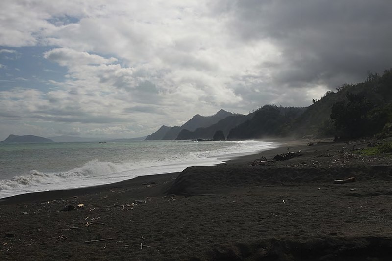
File:View_of_the_forested_west_coast_of_Isabela_Province_(Dinapique)_-_ZooKeys-266-001-g003.jpg · Wikimedia Commons · See Wikimedia Commons
Key facts
- Country
- Philippines
- Region
- Cagayan Valley
- Founded
- May 1, 1856
- Named after
- Isabella II of Spain
- Capital and largest city
- Ilagan
- Type
- Sangguniang Panlalawigan
- Governor
- Rodolfo T. Albano III ( PFP )
- Vice governor
- Francis Dy ( Lakas )
- Legislature
- Isabela Provincial Board
- Total
- 13,102.05 km (5,058.73 sq mi)
- Rank
- 2nd out of 82
- Highest elevation mount dos cuernos
- 1,736 m (5,696 ft)
- Density
- 132.2730/km (342.5856/sq mi)
- Demonyms
- Isabeleño Isabelino (m/n) Isabeleña (f) Isabelan
- Independent cities
- 1 Santiago
- Component cities
- 2 Cauayan Ilagan
- Barangays
- 1,018 including independent cities : 1,055
- Districts
- Legislative districts of Isabela (shared with Santiago City )
via Wikipedia infobox
Official website

Home - Official Website of the Province of Isabela
provinceofisabela.ph →Link to the official site · 15,096 chars · not written by Vinony
Wikidata facts
- Instance of
- province of the Philippines
- Official name
- Lalawigan ng Isabela
- Country
- Philippines
- Located in
- Cagayan Valley
- Contains
- Santa Maria
- Capital
- Ilagan
- Population
- 1733048
- Area
- 12414.93
- Time zone
- UTC+08:00
- Shares border with
- Aurora
- Official website
- provinceofisabela.ph
- Households
- 422670
- Dialing code
- 78
Show 12 more facts
- Commons category
- Isabela (province)
- topic's main category
- Category:Isabela (province)
- inception
- 1856-01-01
- postal code
- 3300–3336
- electorate
- 1125541
- Köppen climate classification
- tropical rainforest climate
- poverty incidence
- 15.90
- described by source
- New International Encyclopedia
- total assets
- 17892274726.76
- fiscal/tax revenue
- 5974417514.02
- total liabilities
- 3785406530.29
- total expenditure
- 4453919445.95
Sources (13)
via Wikidata · CC0
Gallery (13)
On the map
38 mapped locations