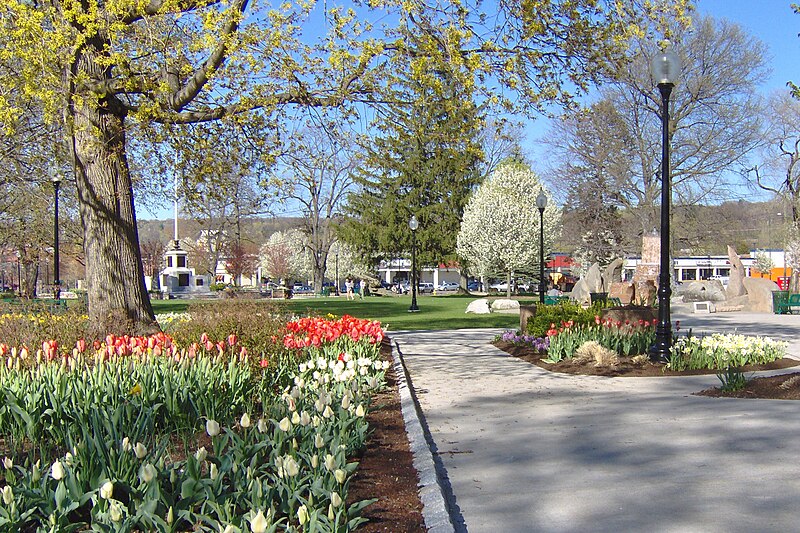
File:Spring_2006.jpg · Wikimedia Commons · See Wikimedia Commons
Litchfield County
Sign in to saveAlso known as Litchfield County, Connecticut, Litchfield County, CT
county in Connecticut, United States
Key facts
- Country
- United States
- State
- Connecticut
- Named after
- Lichfield , England
- Seat
- none (since 1960), Litchfield (before 1960)
- Largest city
- Torrington (by population), New Milford (by area)
- Total
- 945 sq mi (2,450 km )
- Land
- 921 sq mi (2,390 km )
- Water
- 24 sq mi (62 km ) 2.5%
- Density
- 196/sq mi (76/km )
- Time zone
- UTC−5 ( Eastern )
- Summer dst
- UTC−4 ( EDT )
- Congressional districts
- 1st , 5th
via Wikipedia infobox
Wikidata facts
- Named after
- Lichfield
- Country
- United States
- Located in
- Connecticut
- Contains
- Plymouth
- Capital
- Litchfield
- Population
- 185186
- Area
- 2446
- Shares border with
- Dutchess County
- Image
- MohawkMountain.jpg
- Households
- 74902
Show 11 more facts
- Commons category
- Litchfield County, Connecticut
- topic's main category
- Category:Litchfield County, Connecticut
- inception
- 1751-00-00
- category for people born here
- Category:Births in Litchfield County, Connecticut
- category of associated people
- Category:People from Litchfield County, Connecticut
- category for people who died here
- Q32208174
- water as percent of area
- 2.5
- native label
- Litchfield County
- different from
- Litchfield
- per capita income
- 45702
- P12749
- Ribes nigrum
Sources (9)
via Wikidata · CC0
~15 min read
Encyclopedic overview
Litchfield County is a county in northwestern Connecticut, United States. As of the 2020 census, the population was 185,186. The county was named after Lichfield, in England. Litchfield County has the lowest population density of any county in Connecticut and is the state's largest county by area.
Litchfield County comprises the Torrington, CT, Micropolitan Statistical Area, which is included in the New York–Newark, NY–NJ–CT–PA, Combined Statistical Area.
Excerpted from Wikipedia’s “Litchfield County” article, available under the CC BY-SA 4.0 licence.