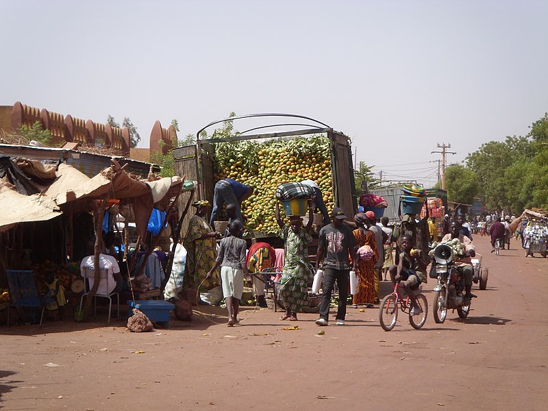
Mopti
Sign in to saveMopti (Fulfulde: Mobti) is a town and an urban commune in the Inner Niger Delta region of Mali. The town is the capital of the Mopti Cercle and the Mopti Region. Situated 630 km northeast of Bamako, the town lies at the confluence of the Niger and the Bani Rivers and is linked by an elevated causeway to the town of Sévaré. The urban commune, which includes both Mopti and Sévaré, had a population of 114,296 in the 2009 census.
AI overview
Mopti is a town in Mali located where the Niger and Bani Rivers meet, serving as the capital of both the Mopti Region and Mopti Cercle. The town is strategically positioned in the Inner Niger Delta about 630 kilometers northeast of Mali's capital, Bamako, and forms part of an urban area with Sévaré that had over 114,000 residents as of 2009.
AI-generated from the Wikipedia summary — may contain errors.
Weather now
cached 5h ago33°overcast clouds
31% 3.6 m/s OpenWeatherMap
7-day forecast
via Open-Meteo
Place details
- Locality
- Mopti
- Region
- Mopti
- Country
- Mali
- Population
- 186,187
- Timezone
Article
13 sectionsContents
- Geography
- History
- Mosque
- Industry
- Tourism
- Transport
- Culture
- Demographics
- Climate
- See also
- References
- Further reading
- External links
Mopti (Fulfulde: Mobti) is a town and an urban commune in the Inner Niger Delta region of Mali. The town is the capital of the Mopti Cercle and the Mopti Region. Situated 630 km northeast of Bamako, the town lies at the confluence of the Niger and the Bani Rivers and is linked by an elevated causeway to the town of Sévaré. The urban commune, which includes both Mopti and Sévaré, had a population of 114,296 in the 2009 census.
==Geography== Mopti lies on the right bank of the Bani River, a few hundred meters upstream of the confluence of the Bani with the Niger River. Between August and December when the rivers flood the Inner Niger Delta, the town becomes a series of islands connected by raised causeways. During this period the only road access to the town is along a 12 km causeway that links Mopti to Sévaré. Mopti lies to the west of the Dogon Plateau and is 66 km northwest of Bandiagara and 76 km north-northeast of Djenné. The town is the capital of the Mopti Region and the administrative center of the Mopti Cercle.