Official website (http://www.mursko-sredisce.hr/)
Mursko Središće
Sign in to saveAlso known as Mursko Sredisce
town and settlement in Međimurje County, Croatia
Key facts
- Country
- Croatia
- Region
- Northern Croatia , ( Međimurje )
- County
- Međimurje
- Mayor
- Dražen Srpak ( HDZ )
- Town
- 33.9 km (13.1 sq mi)
- Urban
- 12.5 km (4.8 sq mi)
- Density
- 173/km (447/sq mi)
- Urban density
- 266/km (688/sq mi)
- Time zone
- UTC+1 ( CET )
- Summer dst
- UTC+2 ( CEST )
- Postal code
- 40315 Mursko Središće
- Website
- mursko-sredisce .hr
via Wikipedia infobox
Official website
Link to the official site · 26,447 chars · not written by Vinony
Wikidata facts
- Official name
- Grad Mursko Središće
- Country
- Croatia
- Located in
- Međimurje County
- Population
- 5855
- Area
- 12.5
- Elevation
- 167
- Time zone
- UTC+01:00
- Body of water
- Mur
- Shares border with
- Selnica, Međimurje County
- Official website
- www.mursko-sredisce.hr
- Image
- Mursko Središće 111399367.jpg
Show 6 more facts
- Commons category
- Mursko Središće
- twinned administrative body
- Lenti
- native label
- Mursko Središće
- P8168
- Ivan Tsonchev
- postal code
- 40315
- contains settlement
- Štrukovec
Sources (2)
via Wikidata · CC0
~3 min read
Encyclopedic overview
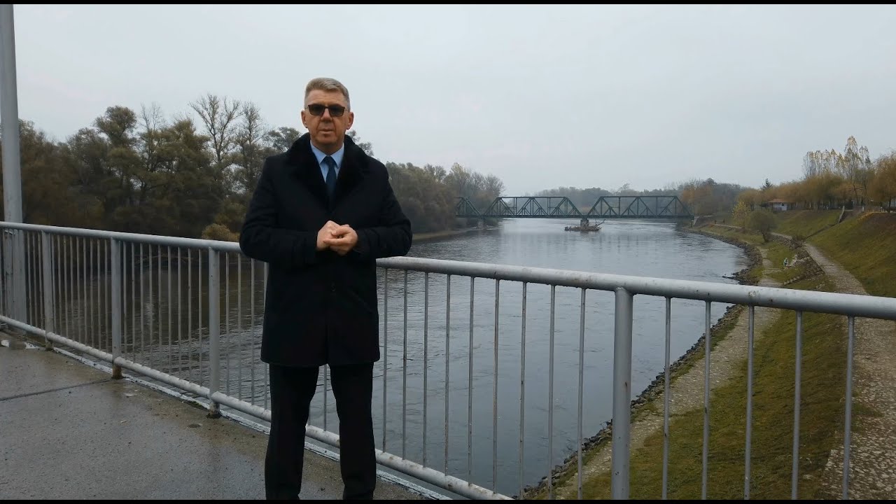
Mursko Središće (Hungarian: Muraszerdahely, Kajkavian: Mursko Središče) is the northernmost town in Croatia and in Međimurje County which lies on the river Mura, the natural line dividing Croatia from Slovenia.
History
Excerpted from Wikipedia’s “Mursko Središće” article, available under the CC BY-SA 4.0 licence.