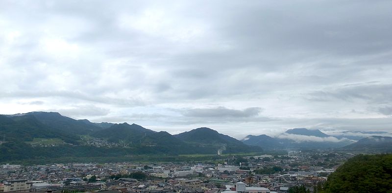
File:Numata-area-aug12-2014.jpg · Wikimedia Commons · See Wikimedia Commons
In the Vinony graph
Vinony's link graph records 121 inbound references to 누마타시, and connects out to Maebashi, Japan and Germany.
The entry is geolocated on the map in JP.
It is catalogued under topics including Cities in Gunma Prefecture, Numata, Gunma and Populated places on the Tone River.
Vinony links it to 37 Wikipedia language editions.
Key facts
- Country
- Japan
- Region
- Kantō
- Prefecture
- Gunma
- Town settled
- April 1, 1889
- City settled
- April 1, 1954
- Mayor
- Minoru Hoshino (星野稔) - from May 2022
- Total
- 443.46 km (171.22 sq mi)
- Density
- 105.78/km (273.96/sq mi)
- Time zone
- UTC+9 ( Japan Standard Time )
- Phone number
- 0278-23-2111
- Address
- Shimono-machi 999, Numata-shi, Gunma-ken 378-8501
- Climate
- Cfa
- Website
- Official website
- Flower
- Chinese bellflower
- Tree
- Sakura
via Wikipedia infobox
Wikidata facts
- Instance of
- city of Japan
- Country
- Japan
- Located in
- Gunma Prefecture
- Population
- 51265
- Area
- 443.46
- Time zone
- Japan Standard Time
- Shares border with
- Nikkō-shi
- Official website
- www.city.numata.gunma.jp
- Image
- Terrace Numata.jpg
Show 7 more facts
- Commons category
- Numata, Gunma
- topic's main category
- Category:Numata, Gunma
- name in kana
- ぬまたし
- inception
- 1954-04-01
- twinned administrative body
- Füssen
- associated electoral district
- Gunma 1st district
- native label
- 沼田市
Sources (10)
via Wikidata · CC0
Gallery (9)
On the map
Connections
Maebashi
Entity
Japan
Country
Germany
Country
time zone
Entity
Bavaria
Entity
geographic coordinate system
Entity
population density
Entity
precipitation
Entity
Meiji restoration
Entity
Kantō region
Entity
Gunma Prefecture
Entity
Tochigi Prefecture
Entity
prefecture of Japan
Entity
Köppen climate classification
Entity
UTC+09:00
Entity
Tokugawa shogunate
Entity
Füssen
Entity
cherry blossom
Entity
Edo period
Entity
Takasaki
Entity