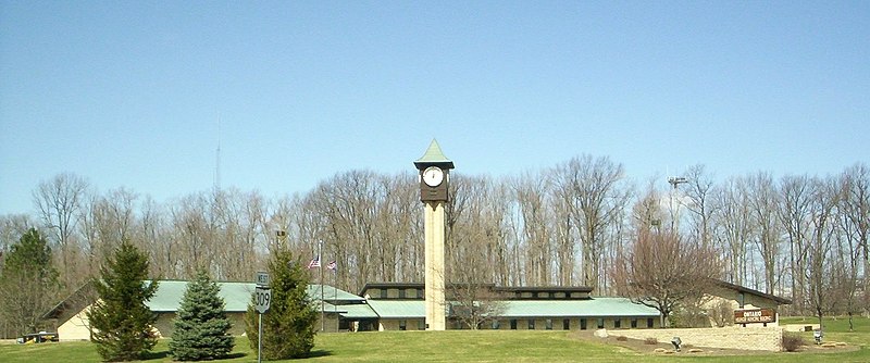
File:Ontario_Municipal_Building.JPG · Wikimedia Commons · See Wikimedia Commons
Key facts
- Country
- United States
- State
- Ohio
- County
- Richland
- Incorporated
- 1958 (village)
- Total
- 11.09 sq mi (28.72 km )
- Land
- 11.07 sq mi (28.66 km )
- Water
- 0.023 sq mi (0.06 km )
- Elevation
- 1,371 ft (418 m)
- Density
- 601.5/sq mi (232.23/km )
- Time zone
- UTC-5 ( Eastern (EST) )
- Summer dst
- UTC-4 (EDT)
- Fips code
- 39-58520
- Website
- https://ontarioohio.org/
via Wikipedia infobox
Wikidata facts
- Instance of
- city in the United States
- Official name
- Ontario
- Country
- United States
- Located in
- Springfield Township
- Population
- 6656
- Area
- 28.767689
- Elevation
- 414
- Time zone
- Eastern Time Zone
- Shares border with
- Mansfield
- Official website
- www.ontarioohio.org
- Image
- Ontario Municipal Building.JPG
- Households
- 2562
Show 5 more facts
- postal code
- 44862
- Commons category
- Ontario, Ohio
- inception
- 1834-00-00
- water as percent of area
- 0.2078
- per capita income
- 31963
Sources (10)
via Wikidata · CC0
~11 min read
Encyclopedic overview
Ontario is a city in Richland County, Ohio, United States. As of the 2020 census, the city had a population of 6,656. It is part of the Mansfield metropolitan area.
It was founded in 1834 on the western edge of the Allegheny Plateau, just west of the city of Mansfield. After being incorporated in 1958, Ontario became a heavy manufacturing center because of the Erie Railroad line, and its proximity to Mansfield. However, its status in that regard began to decline in the late 20th century, when much of the Erie Railroad that once ran through the city was abandoned; and shifts in the manufacturing industry led to the relocation or repositioning of many factories. The city's industry has since diversified into the service economy, including education, finance and healthcare. The city is also a major regional retail hub serving the entire North-Central Ohio area, with a shopping population of over 150,000.
Excerpted from Wikipedia’s “Ontario” article, available under the CC BY-SA 4.0 licence.