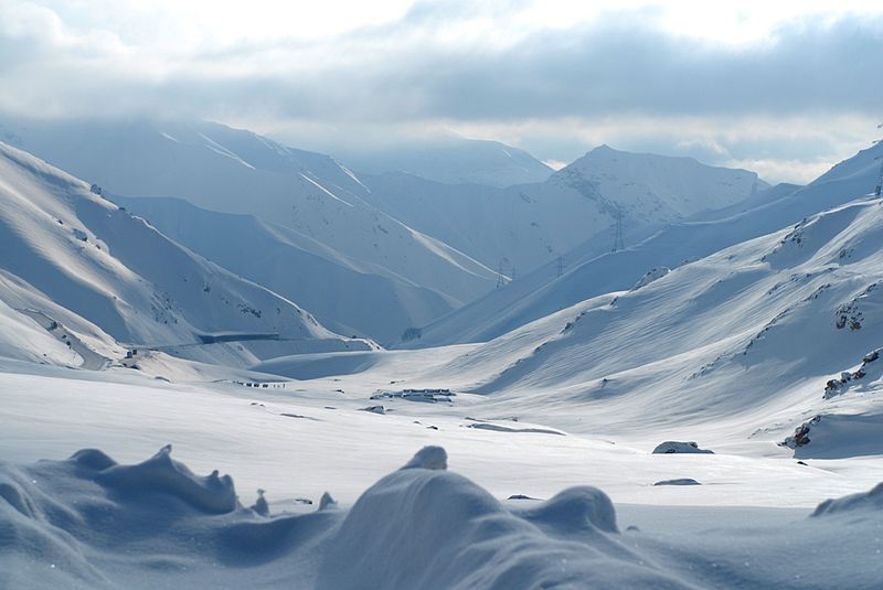
File:Snow_covered_mountains_outside_of_Salang_tunnel_in_Afghanistan.jpg · Wikimedia Commons · See Wikimedia Commons
Parwan Province is a region in Afghanistan located in the central part of the country. It is significant as a strategic area that has historically been important for control of mountain passes and trade routes connecting different parts of Afghanistan.
AI-generated from the Wikipedia summary — may contain errors.
Wikidata facts
- Instance of
- province of Afghanistan
- Country
- Afghanistan
- Located in
- Afghanistan
- Contains
- Chaharikar District
- Capital
- Charikar
- Official language
- Dari
- Population
- 600000
- Area
- 5974.0
- Elevation
- 1906
- Time zone
- UTC+04:30
- Shares border with
- Maidan Wardak Province
- Image
- Snow covered mountains outside of Salang tunnel in Afghanistan.jpg
Show 4 more facts
- Commons category
- Parwan Province
- category of associated people
- Category:People from Parwan Province
- topic's main category
- Category:Parwan Province
- office held by head of government
- governor
Sources (3)
via Wikidata · CC0
~9 min read
Encyclopedic overview
Parwan is one of the 34 provinces of Afghanistan. It is the largest province of the Greater Parwan region, and has a population of about 751,000. The province is multi-ethnic and is a mostly rural society. The province is divided into 10 districts. The town of Imam Abu Hanifa serves as the provincial capital. The province is located north of Kabul Province and south of Baghlan Province, west of Panjshir Province and Kapisa Province, and east of Maidan Wardak Province and Bamyan Province. The province's famous tourism attraction is the Golghondi Hill, also known as “the flower hill,” located in Imam Azam about an hour away from the capital city of Kabul. After Panjshir this province has been considered as one of the main raising points of Afghanistan War against Soviets.
The name Parwan is also attributed to a town, the exact location of which is now unknown, that supposedly existed during prehistory, in the nearby Hindu Kush mountains.
Excerpted from Wikipedia’s “Parwan Province” article, available under the CC BY-SA 4.0 licence.
Gallery (12)
On the map
Available in 68 languages
- Español
- Français
- Deutsch
- 中文
- 日本語
- Русский
- Português
- Italiano
- العربية
- हिन्दी
- azb
- Azerbaijani
- Bahasa Indonesia
- Bangla
- Basque
- be_x_old
- Belarusian
- Bulgarian
Show 49 more
- Catalan
- Cebuano
- Central Kurdish
- Crimean Tatar
- Czech
- Danish
- Esperanto
- Estonian
- Filipino
- Finnish
- Georgian
- Greek
- Hebrew
- Latvian
- Lithuanian
- Malay
- Malayalam
- Mazanderani
- Minangkabau
- Mongolian
- Nederlands
- Newari
- Northern Frisian
- Norwegian
- Ossetic
- Pashto
- Polski
- Punjabi
- Romanian
- Scots
- Serbian
- simple
- Sindhi
- Sundanese
- Svenska
- Tajik
- Tamil
- Türkçe
- Ukrainian
- Urdu
- Uyghur
- Uzbek
- Waray
- Western Panjabi
- Wu Chinese
- zh_min_nan
- zh_yue
- فارسی
- 한국어
via Wikidata sitelinks · CC0