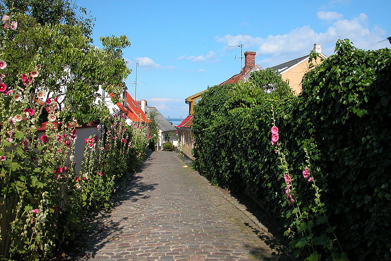
File:Marstal_Ærø.jpg · Wikimedia Commons · See Wikimedia Commons
Key facts
- Islands.name
- Ærø
- Islands.image_name
- Marstal Ærø.jpg
- Islands.image_caption
- Marstal, largest town on the island
- Islands.map_image
- Denmark location aero.svg
- Islands.location
- Baltic Sea
- Islands.area_km2
- 88
- Islands.country
- Denmark
- Islands.country_admin_divisions_title
- Region
- Islands.country_admin_divisions
- South Denmark Region
- Islands.country_admin_divisions_title_1
- Municipality
- Islands.country_admin_divisions_1
- Ærø Municipality
- Islands.country_largest_city
- Marstal
- Islands.country_largest_city_population
- 2,111
- Islands.population
- 5,956
- Islands.population_as_of
- 2020
- Islands.density_km2
- 67
via Wikipedia infobox
Wikidata facts
- Instance of
- island
- Part of
- South Funen Archipelago
- Country
- Denmark
- Located in
- Ærø Municipality
- Population
- 6170
- Area
- 88
- Body of water
- South Funen Archipelago
- Image
- Arroe by Blaeu 1665 (cropped).jpg
- Width
- 6
- Length
- 30
- Flag
- Flagge Ærøs
Show 4 more facts
- Commons category
- Ærø
- described by source
- Brockhaus and Efron Encyclopedic Dictionary
- Commons gallery
- Ærø
- different from
- Ærø Municipality
Sources (2)
via Wikidata · CC0
Article · Español
Ærø es una isla de Dinamarca localizada en aguas del mar Báltico. La isla estuvo recientemente dividida en dos municipios: la parte occidental de la isla constituía el municipio de Ærøskøbing y la parte oriental, el municipio de Marstal. El 1 de enero de 2006, se fundieron, formando el municipio de Ærø. El municipio también incluye el islote de Birkholm. * Población: 6,863 (isla 2006); 6,873 (municipio) * Área: 88 km² (isla); 91 km² (municipio) * Extensión de la línea costera: 167 km
Abstract from DBpedia / Wikipedia · CC BY-SA
Gallery (24)
On the map
3 mapped locations