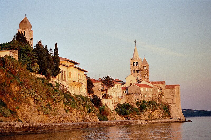
File:Rab1.jpg · Wikimedia Commons · See Wikimedia Commons
Also known as Otok Rab
остров в Адриатическом море в северной части Хорватии
Key facts
- Location
- Adriatic Sea
- Area
- 86.115 km (33.249 sq mi)
- Highest elevation
- 408 m (1339 ft)
- Highest point
- Kamenjak
- County
- Primorje-Gorski Kotar
- Largest settlement
- Palit (pop. 1,580)
- Population
- 7,161 (2021)
- Pop density
- 83.156/km (215.373/sq mi)
via Wikipedia infobox
Official website
Rab - službene stranice|Centralni portal
rab.hr →Link to the official site · 5,915 chars · not written by Vinony
Wikidata facts
- Instance of
- island
- Country
- Croatia
- Located in
- Primorje-Gorski Kotar County
- Population
- 7161
- Area
- 93.6
- Elevation
- 408
- Body of water
- Kvarner Gulf
- Location
- Adriatic Sea
- Official website
- www.rab.hr
- Image
- Rab Island from Velebit.jpg
Show 7 more facts
- twinned administrative body
- San Marino
- Commons category
- Island of Rab
- topic's main category
- Category:Rab (island)
- Commons gallery
- Island of Rab
- topic has template
- Template:Subdivisions on Rab Island
- located in/on physical feature
- Kvarner Gulf
- different from
- Rab
Sources (3)
via Wikidata · CC0
Article · Русский
Раб (хорв. Rab, итал. Arbe) — остров в Адриатическом море в северной части Хорватии, возле далматинского побережья в заливе Кварнер. На острове расположен одноимённый город.
Abstract from DBpedia / Wikipedia · CC BY-SA