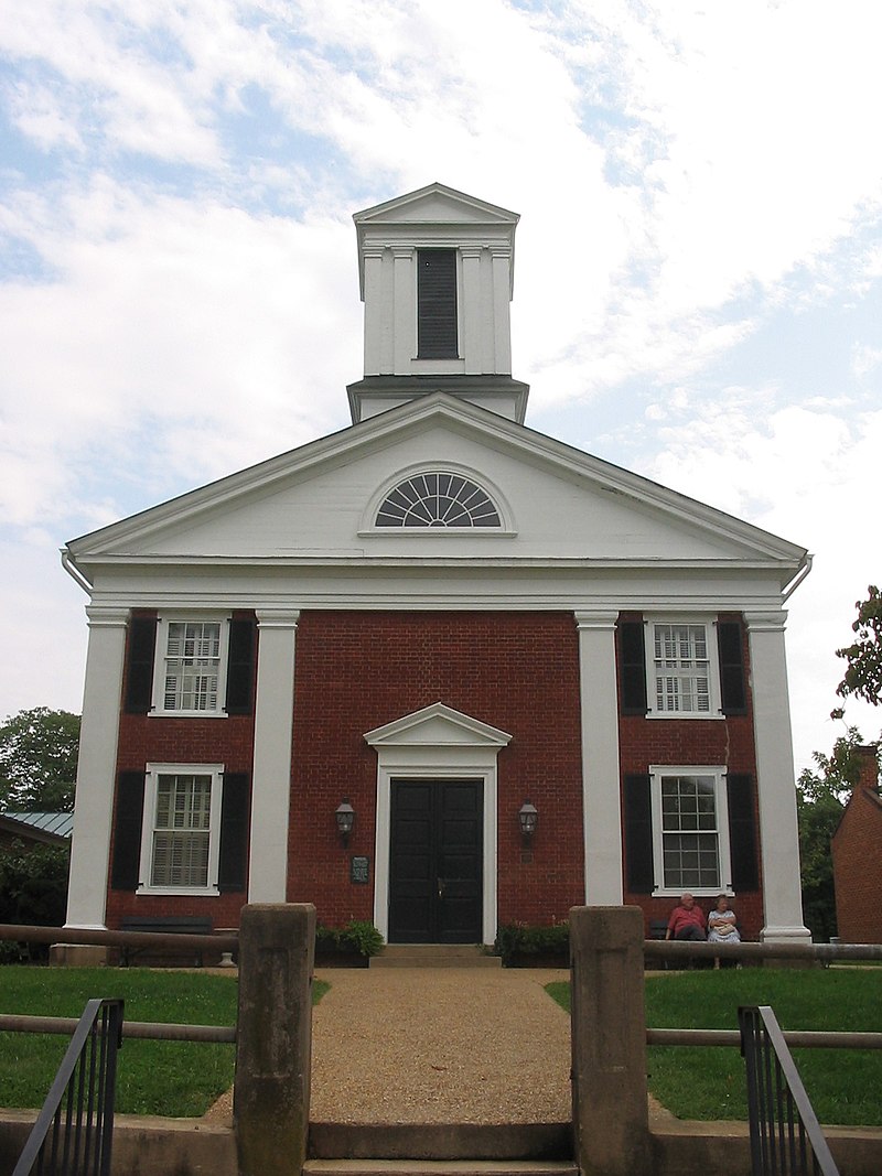
File:Rappahannock_County_Courthouse.jpg · Wikimedia Commons · See Wikimedia Commons
Rappahannock County
Sign in to saveAlso known as Rappahannock County, Virginia, Rappahannock County, VA
county in Virginia, United States
Key facts
- Country
- United States
- State
- Virginia
- Named after
- Rappahannock River
- Seat
- Washington
- Largest town
- Washington
- Total
- 267 sq mi (690 km )
- Land
- 266 sq mi (690 km )
- Water
- 0.8 sq mi (2.1 km ) 0.3%
- Estimate 2025
- 7,439
- Density
- 27.6/sq mi (10.7/km )
- Time zone
- UTC−5 ( Eastern )
- Summer dst
- UTC−4 ( EDT )
- Congressional district
- 10th
- Website
- rappahannockcountyva .gov
via Wikipedia infobox
Wikidata facts
- Named after
- Rappahannock River
- Country
- United States
- Located in
- Virginia
- Contains
- Washington
- Capital
- Washington
- Population
- 7348
- Area
- 691
- Shares border with
- Fauquier County
- Official website
- rappahannockcountyva.gov
- Image
- Rappahannock County Courthouse.jpg
- Households
- 2827
Show 6 more facts
- Commons category
- Rappahannock County, Virginia
- topic's main category
- Category:Rappahannock County, Virginia
- inception
- 1833-00-00
- water as percent of area
- 0.3
- native label
- Rappahannock County
- per capita income
- 46731
Sources (9)
via Wikidata · CC0
~31 min read
Encyclopedic overview
Rappahannock County is a county located in the northern Piedmont region of the Commonwealth of Virginia, US, adjacent to Shenandoah National Park. As of the 2020 Census, the population was 7,348. Its county seat and only incorporated town, is Washington. The name "Rappahannock" comes from the Algonquian word lappihanne, meaning "river of quick, rising water" or "where the tide ebbs and flows." The county is included in the Washington-Arlington-Alexandria, DC-VA-MD-WV Metropolitan Statistical Area.
History
Excerpted from Wikipedia’s “Rappahannock County” article, available under the CC BY-SA 4.0 licence.