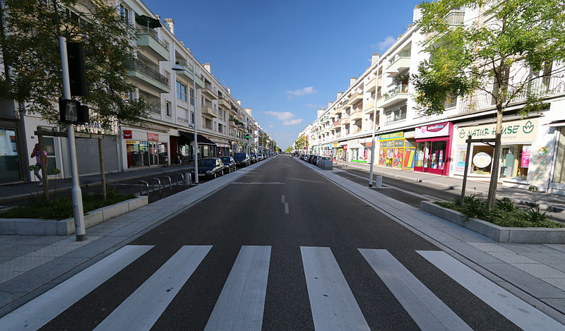
Saint-Nazaire
Also known as Port-Nazaire, St. Nazaire, Sant-Nazer, Saint Nazaire, Saint-Nazère, Señ Neñseir, Saint-Nazaer
commune française du département de la Loire-Atlantique
AI overview
Saint-Nazaire is a port town located in western France in the Loire-Atlantique department, situated in the region of Brittany. As a major port, it serves as an important hub for maritime trade and commerce in France.
AI-generated from the Wikipedia summary — may contain errors.
Weather now
cached 10h ago22°clear sky
60% 4.3 m/s OpenWeatherMap
7-day forecast
via Open-Meteo
Place details
- Locality
- Saint-Nazaire
- Region
- Pays de la Loire
- Country
- France
- Population
- 67,054
Travel guide
Understand
The town has a fine port and shipbuilding has long been an important industry. In the 20th century, aircraft manufacture became important; Airbus have a large factory in the town.
During World War II, the drydock at Saint-Nazaire was the only one on the Atlantic coast of German-held France that could repair large vessels such as battleships. British raiders put it out of commission in 1942 by ramming it with a destroyer (an old ship that had been built for the US Navy during World War I) packed with explosives; it was not repaired until 1947.
Get around
A free electric shuttle connects the theater car park (free parking) to the city center in a few minutes, passing through the Tourist Office and the city's flagship tourist facility "Escal'Atlantic".
Saint-Nazaire and the other municipalities of its agglomeration are served by a fairly dense public transport network, managed by STRAN. It has a bus rapid transit (BRT) line. In addition to getting around town, the buses can, for example, also help you cross the Grande Brière (Lines 2, 3 & 4, towards Saint-André-des-Eaux, Saint-Joachim , Saint-Malo-de- Guersac , or Line 9 towards Besné), then drop you off near the "Most beautiful beach in Europe" La Baule and Pouliguen (Line 6 & 7, towards Pornichet). For a minimum price of €1.2 per trip (transfers are prohibited for single tickets). The "FREEDOM TICKET" ticket, valid for one day on the entire STRAN and TY'BUS network. Price: €3.5
The Hélyce bus route connects Saint-Marc sur Mer to Saint-Nazaire station in less than 20 min.
See
thumb|Pont-Mindin across the Loire City-port zone: the submarine base, the port, the forms of construction of the liners. Very nice point of view from the roof of the submarine base. The wild coast: Follow the customs path that runs along the coast from the beaches of Saint-Nazaire to the beaches of Saint-Marc-Sur-Mer and beyond to Pornichet. Saint-Marc-sur-Mer, with its pleasant beach immortalized by Jacques Tati in his film Les vacances de Monsieur Hulot (1951-53). thumb|Le Grand Café contemporary art centre
Do
Boat trips ply the river between Saint-Nazaire and Nantes. They sail May-Oct several days a week, daily in August, taking 2 hr 30 min each way. The riverbank is dotted with wacky artworks. You can return on the train, which you'll have to do if you take an afternoon boat.
Article · Français
Saint-Nazaire est une commune de l'Ouest de la France, chef-lieu d'arrondissement du département de la Loire-Atlantique dans la région Pays de la Loire. Historiquement la ville fait partie de la Bretagne. Avant la création des départements, Saint-Nazaire relevait du Duché de Bretagne, puis du Parlement de Bretagne à partir de 1532 (Union de la Bretagne à la France). Sur le plan religieux, Saint-Nazaire relève de l'évêché de Nantes depuis le Moyen Âge. La ville est la capitale de la construction navale en France, les Chantiers de l'Atlantique de Saint-Nazaire sont l'un des plus grands sites du monde, à construire des grands navires de plus de 300 mètres. Ainsi, le plus gros paquebot au monde actuel, le Wonder of the Seas, a été construit à Saint-Nazaire. Sur le plan géographique, Saint-Nazaire est située dans le massif armoricain, au nord de l'estuaire de la Loire et au sud de la façade maritime de la Bretagne. Saint-Nazaire constitue avec Nantes un pôle économique important du Grand Ouest, notamment grâce aux infrastructures portuaires du Grand port maritime de Nantes-Saint-Nazaire, mais aussi par le poids important du secteur industriel avec les constructions aéronautique et navale. En 2019, la commune compte 71 394 habitants. Elle est au cœur de l'unité urbaine de Saint-Nazaire qui, avec dix-sept communes, rassemble 188 334 habitants. Deuxième agglomération du département, elle se situe au 4e rang régional.
Abstract from DBpedia / Wikipedia · CC BY-SA
Gallery (32)
On the map
9 mapped locations