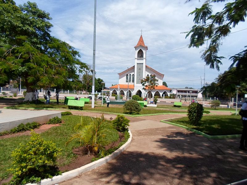
File:Igreja_catolica_em_saurimo.jpg · Wikimedia Commons · See Wikimedia Commons
Key facts
- Settlement.established_title
- Founded
- Settlement.name
- Saurimo
- Settlement.other_name
- Henrique de Carvalho
- Settlement.settlement_type
- Municipality
- Settlement.pushpin_map
- Angola
- Settlement.pushpin_label_position
- left
- Settlement.pushpin_mapsize
- 300
- Settlement.pushpin_map_caption
- Location in Angola
- Settlement.subdivision_type
- Country
- Settlement.subdivision_type1
- Province
- Settlement.subdivision_name1
- Lunda Sul Province
- Settlement.established_date
- 1927
- Settlement.population_as_of
- 2014
- Settlement.population_total
- 442437
- Settlement.population_blank1_title
- Ethnicities
- Settlement.timezone
- WAT
- Settlement.utc_offset
- +1
- Settlement.elevation_m
- 1081
via Wikipedia infobox
Wikidata facts
- Instance of
- municipality of Angola
- Country
- Angola
- Located in
- Lunda Sul Province
- Population
- 393000
- Elevation
- 1081
- Capital of
- Lunda Sul Province
Show 3 more facts
- inception
- 1956-00-00
- name
- Henrique de Carvalho
- Commons category
- Saurimo
Sources (2)
via Wikidata · CC0
Article · 中文
紹里木是安哥拉東北部的城鎮,也是南倫達省的首府,海拔高度1,081米,每年平均降雨量1,342毫米,雨量集中在11月至3月,鎮內經濟活動以農業、採鑽業、手工業和捕魚業為主,主要食糧有玉米、番薯和甘薯。 原镇被称为,葡萄牙探险家,于1884年访问了该地区,联系了当地的。它坐落在安哥拉东北部在3557英尺(1,081米)以上的海平面升高。这是一个驻军镇和当地的市场中心。 主要经济活动是当今农业和钻石。主要的食品是玉米,红薯和山药。其他活动手工业,渔业,和钻石。
Abstract from DBpedia / Wikipedia · CC BY-SA
Gallery (4)
On the map
3 mapped locations