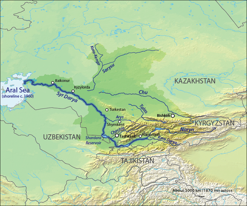
File:Syrdaryamap.png · Wikimedia Commons · See Wikimedia Commons
Key facts
- Country
- Kyrgyzstan , Kazakhstan
- Location
- confluence of the Karakol and Uch-Koshoy
- Coordinates
- 42°29′25″N 72°34′01″E / 42.4902°N 72.567°E / 42.4902; 72.567
- Elevation
- 1,497 m (4,911 ft)
- Mouth
- Muyunkum Desert
- Length
- 661 km (411 mi)
- Basin size
- 52,700 km (20,300 sq mi)
via Wikipedia infobox
~1 min read
Encyclopedic overview
The Talas (/təˈlɑːs/; Kazakh and Kyrgyz: [tʰɑɫɑ́s]) is a river which rises in the Talas Region of Kyrgyzstan and flows west into the Jambyl Region of Kazakhstan. The river is 661 kilometres (411 mi) long and has a basin area of 52,700 square kilometres (20,300 mi).
Course
Excerpted from Wikipedia’s “Talas River” article, available under the CC BY-SA 4.0 licence.
Gallery (3)
On the map
2 mapped locations