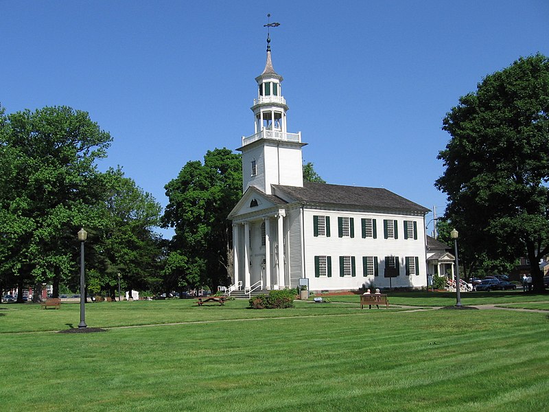
File:Tallmadge_church_2007.jpg · Wikimedia Commons · See Wikimedia Commons
Key facts
- Country
- United States
- State
- Ohio
- Counties
- Summit , Portage
- Total
- 14.06 sq mi (36.42 km )
- Land
- 14.04 sq mi (36.36 km )
- Water
- 0.019 sq mi (0.05 km )
- Elevation
- 1,194 ft (364 m)
- Density
- 1,310.1/sq mi (505.83/km )
- Time zone
- UTC-5 ( Eastern (EST) )
- Summer dst
- UTC-4 (EDT)
- Fips code
- 39-76106
- Website
- https://www.tallmadgeoh.gov/
via Wikipedia infobox
Wikidata facts
- Instance of
- city in the United States
- Official name
- Tallmadge
- Country
- United States
- Located in
- Summit County
- Population
- 280
- Area
- 36.313184
- Elevation
- 340
- Official website
- www.tallmadge-ohio.org
- Image
- Tallmadge church 2007.jpg
- Households
- 116
Show 6 more facts
- postal code
- 44278
- Commons category
- Tallmadge, Ohio
- Commons gallery
- Tallmadge, Ohio
- inception
- 1807-01-01
- water as percent of area
- 0.1722
- per capita income
- 35452
Sources (10)
via Wikidata · CC0
~10 min read
Encyclopedic overview
Tallmadge (/ˈtælmɪdʒ/ TAL-mij) is a city in eastern Summit County, Ohio, United States, with a small district in neighboring Portage County. It is a suburb of Akron and part of the Akron metropolitan area. The population was 18,394 at the 2020 census. Tallmadge was founded in 1807 and is the second-oldest city in Summit County, following Hudson, which was founded in 1799.
History
Excerpted from Wikipedia’s “Tallmadge” article, available under the CC BY-SA 4.0 licence.