
Key facts
- Mountain.easiest_route
- Challenging
- Mountain.name
- Trolltunga
- Mountain.photo
- Trolltunga 2017.jpg
- Mountain.photo_caption
- The view of Trolltunga and Ringedalsvatnet with glimpses of the Folgefonna glacier in the background.
- Mountain.mapframe
- yes
- Mountain.mapframe zoom
- 9
- Mountain.location
- Vestland, Norway
- Mountain.elevation_m
- 1126
- Mountain.type
- Granite penetrated by glacial erosion
via Wikipedia infobox
Official website
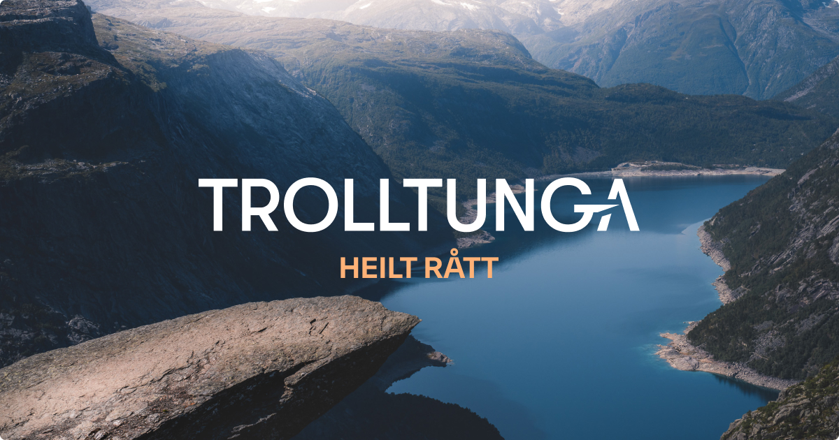
Trolltunga offisielt nettsted – Tur til Norges råeste fjellformasjon
Norges mest spektakulære fjellformasjon. Turen til Trolltunga (1180 moh.) er lang krevende, men belønnes med fantastisk utsikt. Planlegg turen i dag.
no.trolltunga.com →Link to the official site · 40,000 chars · not written by Vinony
Wikidata facts
- Instance of
- rock
- Country
- Norway
- Located in
- Ullensvang Municipality
- Elevation
- 1110
- Official website
- trolltunga.com
- Image
- View of trolltunga.jpg
Show 2 more facts
- Commons category
- Trolltunga
- associated hazard
- rockfall
Sources (1)
via Wikidata · CC0
Article · Deutsch
Trolltunga (deutsch „Die Trollzunge“) ist ein horizontaler Felsvorsprung in Norwegen, der rund zehn Kilometer nordöstlich von Odda am Sørfjord liegt. Bei diesem Fels handelt es sich um eine rund 10 Meter lange Nase, die sich mit einer Höhe von fünf Metern an ihrem Beginn bis auf wenige Zentimeter an der Spitze verjüngt. Der Felsvorsprung befindet sich rund 700 Meter über dem künstlich angelegten Stausee Ringedalsvatnet.
Abstract from DBpedia / Wikipedia · CC BY-SA
Gallery (3)
On the map
2 mapped locations