
Key facts
- Mountain.easiest_route
- Challenging
- Mountain.name
- Trolltunga
- Mountain.photo
- Trolltunga 2017.jpg
- Mountain.photo_caption
- The view of Trolltunga and Ringedalsvatnet with glimpses of the Folgefonna glacier in the background.
- Mountain.mapframe
- yes
- Mountain.mapframe zoom
- 9
- Mountain.location
- Vestland, Norway
- Mountain.elevation_m
- 1126
- Mountain.type
- Granite penetrated by glacial erosion
via Wikipedia infobox
Official website
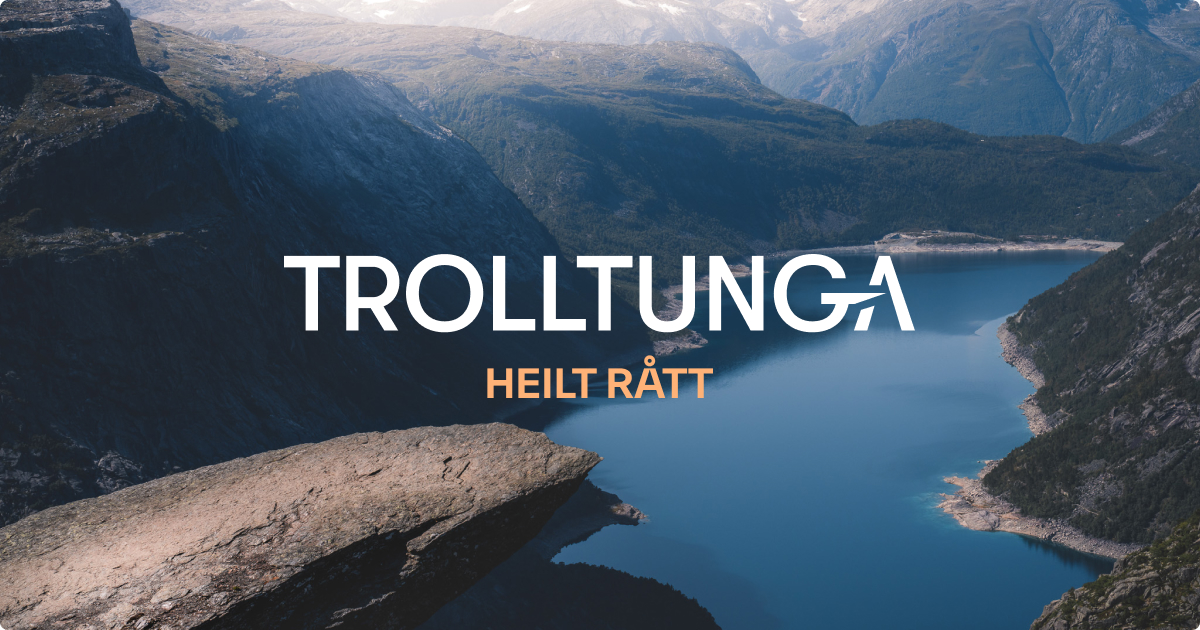
Trolltunga offisielt nettsted – Tur til Norges råeste fjellformasjon
Norges mest spektakulære fjellformasjon. Turen til Trolltunga (1180 moh.) er lang krevende, men belønnes med fantastisk utsikt. Planlegg turen i dag.
no.trolltunga.com →Link to the official site · 40,000 chars · not written by Vinony
Wikidata facts
- Instance of
- rock
- Country
- Norway
- Located in
- Ullensvang Municipality
- Elevation
- 1110
- Official website
- trolltunga.com
- Image
- View of trolltunga.jpg
Show 2 more facts
- Commons category
- Trolltunga
- associated hazard
- rockfall
Sources (1)
via Wikidata · CC0
Article · 日本語
トロルトゥンガ(Trolltunga、トロールの舌)は、ノルウェーホルダラン県オッダの北東にあるダム湖 (the lake Ringedalsvatnet)の北側の高さ約700メートルの山の崖から水平に突き出た岩塊である。崖は、ハルダンゲル・フィヨルドから分岐するフィヨルド (Sørfjorden) の沿岸にあるチッセダル村の10km東方の地区 (Skjeggedal) の東に位置する。英語ではトロールの舌 (The Troll's tongue) と訳される。
Abstract from DBpedia / Wikipedia · CC BY-SA
Gallery (3)
On the map
2 mapped locations