File:GoldenMedows.jpg · Wikimedia Commons · See Wikimedia Commons
cumulus
Also known as cumulus cloud
genus of clouds, low-level cloud
AI overview
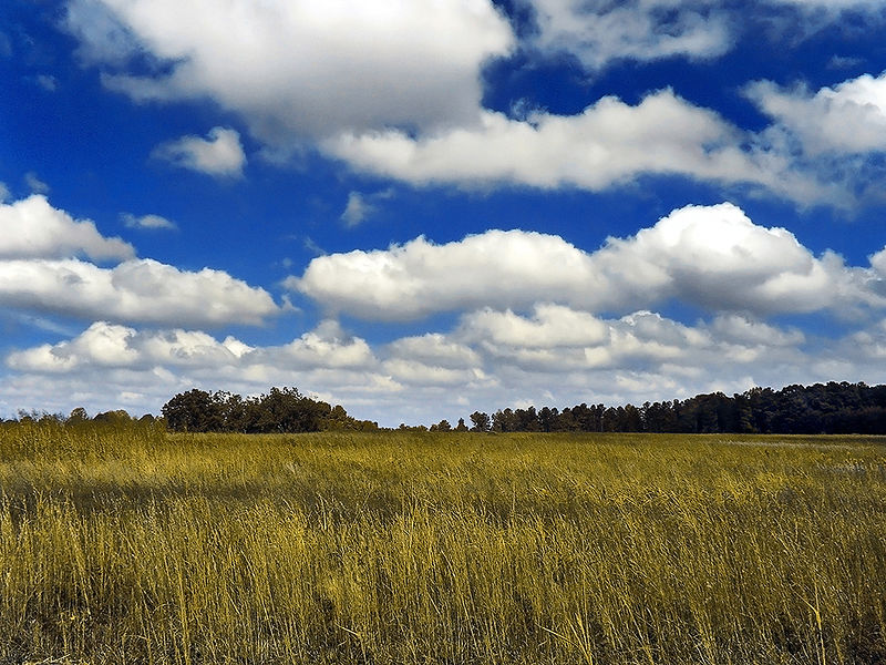
Cumulus clouds are puffy, white clouds that form at low altitudes and are commonly seen on fair-weather days. They matter because they're important indicators of weather patterns and atmospheric conditions that affect daily forecasting and climate observation.
AI-generated from the Wikipedia summary — may contain errors.
Wikidata facts
- Official website
- cloudatlas.wmo.int/cumulus-cu.html
- Image
- Cumulus - visualization.jpg
Show 3 more facts
- Commons category
- Cumulus clouds
- Commons gallery
- Cumulus
- short name
- Cu
Sources (2)
via Wikidata · CC0
~20 min read
Article
Cumulus clouds are clouds that have flat bases and are often described as puffy, cotton-like, or fluffy in appearance. Their name derives from the Latin cumulus, meaning "heap" or "pile". Cumulus clouds are low-level clouds, generally less than 2,000 m (6,600 ft) in altitude unless they are the more vertical cumulus congestus form. Cumulus clouds may appear by themselves, in lines, or in clusters.
Cumulus clouds are often precursors of other types of clouds, such as cumulonimbus, when influenced by weather factors such as instability, humidity, and temperature gradient. Normally, cumulus clouds produce little or no precipitation, but they can grow into the precipitation-bearing cumulus congestus or cumulonimbus clouds. Cumulus clouds can be formed from water vapour, supercooled water droplets, or ice crystals, depending upon the ambient temperature. They come in many distinct subforms and generally cool the earth by reflecting the incoming solar radiation.