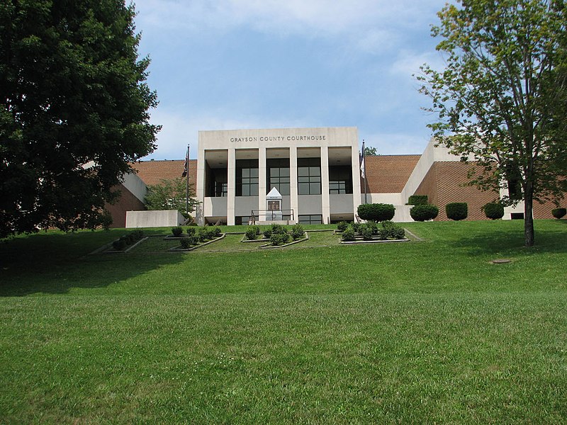
File:GraysonCoVaCourthouse.jpg · Wikimedia Commons · See Wikimedia Commons
شهرستان گریسون
Sign in to saveAlso known as Grayson County, Virginia, Grayson County, VA
county in Virginia, United States
Key facts
- Country
- United States
- State
- Virginia
- Named after
- William Grayson
- Seat
- Independence
- Largest town
- Independence
- Total
- 446 sq mi (1,160 km )
- Land
- 442 sq mi (1,140 km )
- Water
- 3.8 sq mi (9.8 km ) 0.8%
- Estimate 2025
- 15,230
- Density
- 34.7/sq mi (13.4/km )
- Time zone
- UTC−5 ( Eastern )
- Summer dst
- UTC−4 ( EDT )
- Congressional district
- 9th
- Website
- www .graysoncountyva .gov
via Wikipedia infobox
Official website

Home | Visit Grayson County Virginia
Explore Grayson County, Virginia Enjoy Grayson County Events Get Outside Eat Well Stay a While We are home to the highest peaks in Virginia, as well
graysoncountyva.com →Link to the official site · 17,668 chars · not written by Vinony
Wikidata facts
- Named after
- William Grayson
- Country
- United States
- Located in
- Virginia
- Contains
- Independence
- Capital
- Independence
- Population
- 15333
- Area
- 1155
- Shares border with
- Washington County
- Highest point
- Mount Rogers
- Official website
- www.graysoncountyva.com
- Image
- GraysonCoVaCourthouse.jpg
- Households
- 6388
Show 7 more facts
- Commons category
- Grayson County, Virginia
- topic's main category
- Category:Grayson County, Virginia
- inception
- 1793-00-00
- different from
- Grayson County
- water as percent of area
- 0.8
- native label
- Grayson County
- per capita income
- 24770
Sources (9)
via Wikidata · CC0