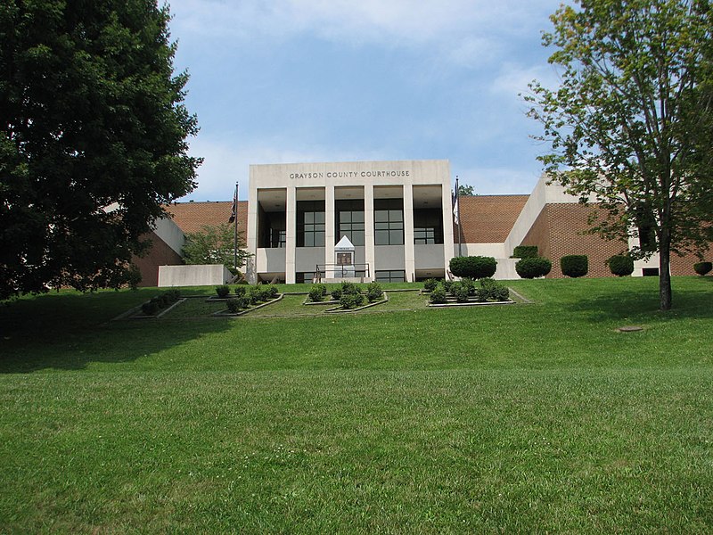
File:GraysonCoVaCourthouse.jpg · Wikimedia Commons · See Wikimedia Commons
Key facts
- Country
- United States
- State
- Virginia
- Named after
- William Grayson
- Seat
- Independence
- Largest town
- Independence
- Total
- 446 sq mi (1,160 km )
- Land
- 442 sq mi (1,140 km )
- Water
- 3.8 sq mi (9.8 km ) 0.8%
- Estimate 2025
- 15,230
- Density
- 34.7/sq mi (13.4/km )
- Time zone
- UTC−5 ( Eastern )
- Summer dst
- UTC−4 ( EDT )
- Congressional district
- 9th
- Website
- www .graysoncountyva .gov
via Wikipedia infobox
Official website

Home | Visit Grayson County Virginia
Explore Grayson County, Virginia Enjoy Grayson County Events Get Outside Eat Well Stay a While We are home to the highest peaks in Virginia, as well
graysoncountyva.com →Link to the official site · 17,668 chars · not written by Vinony
Wikidata facts
- Named after
- William Grayson
- Country
- United States
- Located in
- Virginia
- Contains
- Independence
- Capital
- Independence
- Population
- 15333
- Area
- 1155
- Shares border with
- Washington County
- Highest point
- Mount Rogers
- Official website
- www.graysoncountyva.com
- Image
- GraysonCoVaCourthouse.jpg
- Households
- 6388
Show 7 more facts
- Commons category
- Grayson County, Virginia
- topic's main category
- Category:Grayson County, Virginia
- inception
- 1793-00-00
- different from
- Grayson County
- water as percent of area
- 0.8
- native label
- Grayson County
- per capita income
- 24770
Sources (9)
via Wikidata · CC0
Article · Nederlands
Grayson County is een van de 95 county's in de Amerikaanse staat Virginia. Daarnaast kent Virginia 39 onafhankelijke steden die niet tot county's behoren. De county heeft een landoppervlakte van 1.146 km² en telt 17.917 inwoners (volkstelling 2000). De hoofdplaats is Independence.
Abstract from DBpedia / Wikipedia · CC BY-SA