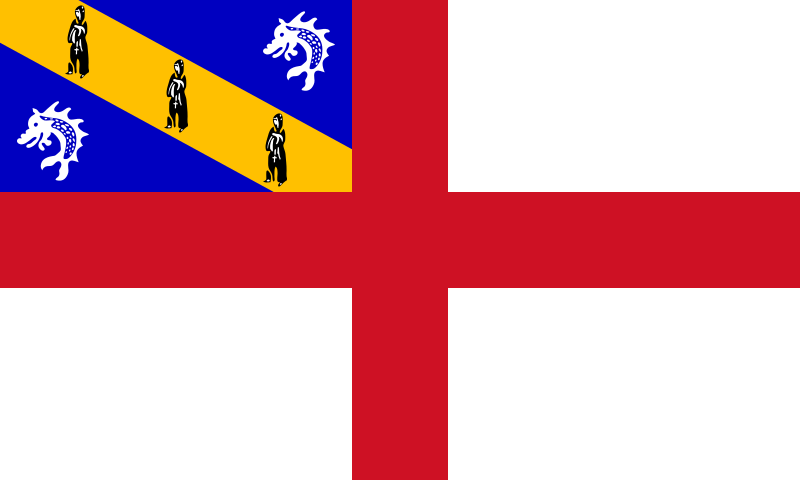
File:Flag_of_Herm.svg · Wikimedia Commons · See Wikimedia Commons
Also known as Haerme
جزيرة في غيرنزي
Key facts
- Dependency.name
- Herm
- Dependency.native_name
- (Guernésiais)
- Dependency.settlement_type
- Part of Guernsey, Bailiwick of Guernsey
- Dependency.linking_name
- Herm
- Dependency.image_flag
- Flag of Herm.svg
- Dependency.flag_size
- 125px
- Dependency.flag_link
- Flag of Herm
- Dependency.image_seal
- Blason Ile Herm.svg
- Dependency.seal_size
- 70px
- Dependency.seal_type
- Coat of arms
- Dependency.anthem
- Sarnia Cherie
- Dependency.image_map
- Guernsey-Herm.png
- Dependency.map_alt
- Location of Herm
- Dependency.subdivision_type
- dependent territory of bailiwick
- Dependency.subdivision_name
- Bailiwick of Guernsey
- Dependency.subdivision_type2
- Crown dependency of Sovereign state
- Dependency.subdivision_name2
- United Kingdom
- Dependency.subdivision_type3
- Parish
via Wikipedia infobox
Wikidata facts
- Part of
- Channel Islands
- Country
- Guernsey
- Located in
- Saint Peter Port
- Population
- 60
- Area
- 2
- Elevation
- 66
- Time zone
- Greenwich Mean Time
- Body of water
- English Channel
- Anthem
- Sarnia Cherie
- Official website
- www.herm.com
- Image
- Herm from the air - geograph.ci - 372.jpg
- Width
- 0.8
- Length
- 2.4
- Flag
- flag of Herm
Show 3 more facts
- Commons category
- Herm
- topic's main category
- Category:Herm
- social media followers
- 7344
via Wikidata · CC0
Article · العربية
هرم (غيرنسي: Haerme) هي واحدة من جزر القنال الإنجليزي وجزء من غيرنزي، وتقع في بحر المانش، إلى الشمال الغربي من فرنسا وجنوب انجلترا. ويبلغ طولها 1.5 ميل (2.4 كـم) وعرضها 0.5 ميل (0.80 كـم).
Abstract from DBpedia / Wikipedia · CC BY-SA
Gallery (24)
On the map
3 mapped locations