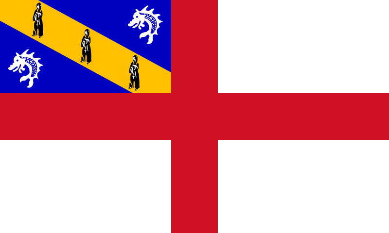
File:Flag_of_Herm.svg · Wikimedia Commons · See Wikimedia Commons
هرم (جزیره)
Sign in to saveAlso known as Haerme
Herm (Guernésiais: , ultimately from Old Norse 'arm', due to the shape of the island, or Old French 'hermit') is one of the Channel Islands and part of the Parish of St Peter Port in the Bailiwick of Guernsey. It is located in the English Channel, north-west of France and south of England. It is long and under wide; oriented north–south, with several stretches of sand along its northern coast. The much larger island of Guernsey lies to the west, Jersey lies to the south-east, and the smaller island of Jethou is just off the south-west coast.
Key facts
- Dependency.name
- Herm
- Dependency.native_name
- (Guernésiais)
- Dependency.settlement_type
- Part of Guernsey, Bailiwick of Guernsey
- Dependency.linking_name
- Herm
- Dependency.image_flag
- Flag of Herm.svg
- Dependency.flag_size
- 125px
- Dependency.flag_link
- Flag of Herm
- Dependency.image_seal
- Blason Ile Herm.svg
- Dependency.seal_size
- 70px
- Dependency.seal_type
- Coat of arms
- Dependency.anthem
- Sarnia Cherie
- Dependency.image_map
- Guernsey-Herm.png
- Dependency.map_alt
- Location of Herm
- Dependency.subdivision_type
- dependent territory of bailiwick
- Dependency.subdivision_name
- Bailiwick of Guernsey
- Dependency.subdivision_type2
- Crown dependency of Sovereign state
- Dependency.subdivision_name2
- United Kingdom
- Dependency.subdivision_type3
- Parish
via Wikipedia infobox
Wikidata facts
- Part of
- Channel Islands
- Country
- Guernsey
- Located in
- Saint Peter Port
- Population
- 60
- Area
- 2
- Elevation
- 66
- Time zone
- Greenwich Mean Time
- Body of water
- English Channel
- Anthem
- Sarnia Cherie
- Official website
- www.herm.com
- Image
- Herm from the air - geograph.ci - 372.jpg
- Width
- 0.8
- Length
- 2.4
- Flag
- flag of Herm
Show 3 more facts
- Commons category
- Herm
- topic's main category
- Category:Herm
- social media followers
- 7344
via Wikidata · CC0
Gallery (24)
On the map
3 mapped locations