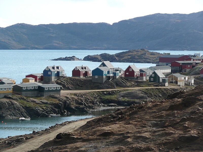
File:Tasiilaq.jpg · Wikimedia Commons · See Wikimedia Commons
Irminger Sea
Sign in to savemarginal sea of the North Atlantic Ocean
In the Vinony graph
Within Vinony's link graph, Irminger Sea is referenced by 209 other articles, and connects out to Mid-Atlantic Ridge, list of seas and Earth.
The entry is geolocated on the map in waterbody.
It is catalogued under topics including Bodies of water of Iceland, European seas and Greenland–Iceland border.
Its subject is documented across 42 Wikipedia language editions.
Key facts
- Type
- Sea
- Basin countries
- Greenland and Iceland
- Max length
- 480 km (300 mi)
- Surface area
- 300,000 sq mi (780,000 km )
via Wikipedia infobox
Wikidata facts
- Instance of
- sea
- Part of
- North Atlantic Ocean
- Named after
- Carl Irminger
- Country
- Greenland
- Area
- 780000
- Image
- Tasiilaq.jpg
- Length
- 480
Show 2 more facts
- basin country
- Greenland
- Commons category
- Irminger Sea
Sources (1)
via Wikidata · CC0
~2 min read
Encyclopedic overview
The Irminger Sea is a marginal sea of the North Atlantic Ocean. It is bordered to the west by southern Greenland, to the north by Iceland and the Denmark Strait, to the east by the Reykjanes Ridge (a northern part of the Mid-Atlantic Ridge), and to the south by open waters of the North Atlantic.
It was named after Danish vice-admiral Carl Ludvig Christian Irminger (1802–1888), after whom the Irminger Current was also named.
Excerpted from Wikipedia’s “Irminger Sea” article, available under the CC BY-SA 4.0 licence.