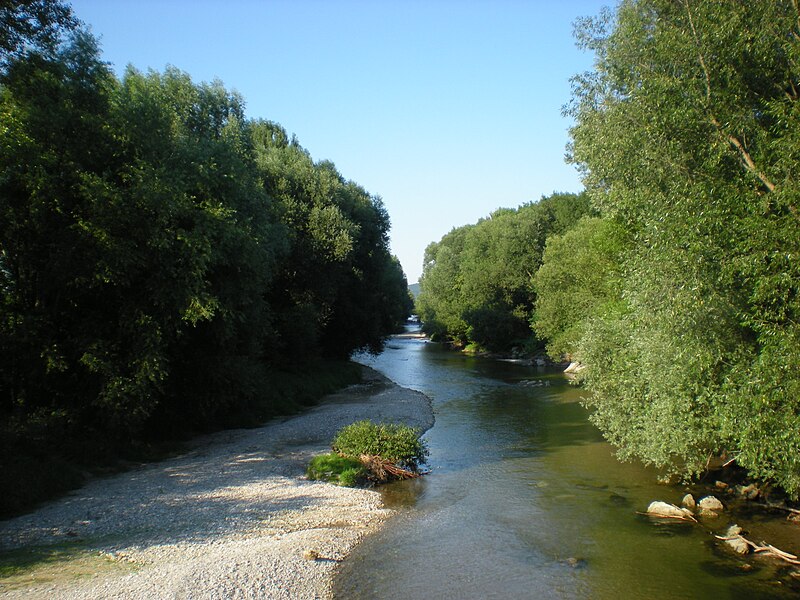
File:Leitha_Kleinwolkersdorf.JPG · Wikimedia Commons · See Wikimedia Commons
Leitha
Sign in to saveThe Leitha (; , formerly ; ; Czech and ) is a river in Austria and Hungary, a right tributary of the Danube. It is long ( including its source river Schwarza). Its basin area is .
Key facts
- River.name
- Leitha
- River.name_other
- Lajta
- River.image
- Leitha Kleinwolkersdorf.JPG
- River.image_caption
- The Leitha near Kleinwolkersdorf
- River.source1_location
- Lanzenkirchen, southern Vienna Basin
- River.mouth_location
- Danube near Mosonmagyaróvár
- River.subdivision_type1
- Countries
- River.subdivision_name1
- Austria and Hungary
- River.pushpin_map
- Hungary
via Wikipedia infobox
Wikidata facts
- Instance of
- river
- Country
- Hungary
- Located in
- Lower Austria
- Continent
- Europe
- Image
- La Leitha.png
- Length
- 180
Show 5 more facts
- Commons category
- Leitha
- discharge
- 10
- mouth of the watercourse
- Moson-Danube
- Commons gallery
- Leitha
- watershed area
- 2138.1
Sources (2)
via Wikidata · CC0
Article · Français
La Leitha (hongrois: Lajta ; tchèque: Litava) est une rivière d'Europe centrale, formée par la réunion de deux torrents (Schwarza et Pitten). Entre Ebenfurth et Leithaprodersdorf et entre Bruck an der Leitha et Gattendorf, la Leitha sert aujourd'hui de frontière entre la Basse-Autriche et le Burgenland. Avant 1921, elle constituait la frontière entre l'Autriche et la Hongrie.
Abstract from DBpedia / Wikipedia · CC BY-SA
Gallery (16)
On the map
6 mapped locations