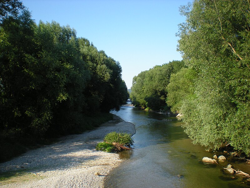
File:Leitha_Kleinwolkersdorf.JPG · Wikimedia Commons · See Wikimedia Commons
Rio Leita
Sign in to saveThe Leitha (; , formerly ; ; Czech and ) is a river in Austria and Hungary, a right tributary of the Danube. It is long ( including its source river Schwarza). Its basin area is .
In the Vinony graph
Vinony's link graph records 94 inbound references to Rio Leita, and connects out to Austria, Hungary and Slovakia.
The entry is geolocated on the map in AT, across 6 mapped points.
It sits within the topics Bruck an der Leitha District, International rivers of Europe and Leitha.
Vinony links it to 46 Wikipedia language editions.
Key facts
- River.name
- Leitha
- River.name_other
- Lajta
- River.image
- Leitha Kleinwolkersdorf.JPG
- River.image_caption
- The Leitha near Kleinwolkersdorf
- River.source1_location
- Lanzenkirchen, southern Vienna Basin
- River.mouth_location
- Danube near Mosonmagyaróvár
- River.subdivision_type1
- Countries
- River.subdivision_name1
- Austria and Hungary
- River.pushpin_map
- Hungary
via Wikipedia infobox
Wikidata facts
- Instance of
- river
- Country
- Hungary
- Located in
- Lower Austria
- Continent
- Europe
- Image
- La Leitha.png
- Length
- 180
Show 5 more facts
- Commons category
- Leitha
- discharge
- 10
- mouth of the watercourse
- Moson-Danube
- Commons gallery
- Leitha
- watershed area
- 2138.1
Sources (2)
via Wikidata · CC0
Article · Português
O rio Leita ou Leitha (em alemão: Leitha; em húngaro: Lajta; em tcheco/checo: Litava), com um percurso de 180 km, flui através da Europa Central. Nasce no leste da Áustria da confluência de dois tributários (Schwarza ePitten ). Entre Katzelsdorf e Leithaprodersdorf, Leitha faz a fronteira entre Baixa Áustria e Burgenland, a antiga fronteira entre a Áustria e a Hungria até 1921. Perto de Nickelsdorf, o rio entra na hoje Hungria, onde se junta a um braço do Danúbio próximo a Mosonmagyaróvár. Outras cidades em seu curso são Wiener Neustadt e Bruck an der Leitha. Do Leitha e seus afluentes partem vários canais usados no passado para fornecer energia às empresas têxteis e hoje para usinas hidrelétricas.
Abstract from DBpedia / Wikipedia · CC BY-SA
Gallery (16)
On the map
6 mapped locations