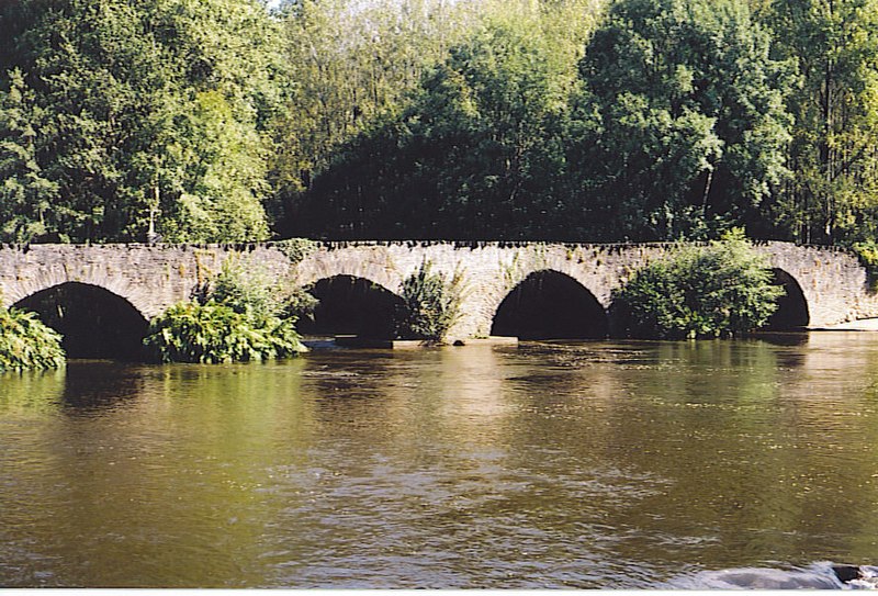
File:Vézère_vieux_pont.jpg · Wikimedia Commons · See Wikimedia Commons
Key facts
- River.name
- Vézère
- River.image
- Vézère vieux pont.jpg
- River.image_caption
- Le Saillant, bridge over the river Vézère
- River.map
- Vézère.png
- River.source1_location
- Plateau de Millevaches
- River.mouth_location
- Dordogne
- River.subdivision_type1
- Country
- River.subdivision_name1
- France
- UNESCO World Heritage Site.WHS
- Prehistoric Sites and Decorated Caves of the Vézère Valley
- UNESCO World Heritage Site.image
- Vezere madelaine.JPG
- UNESCO World Heritage Site.image_upright
- 1.2
- UNESCO World Heritage Site.caption
- Vézère at La Madeleine site
- UNESCO World Heritage Site.criteria
- (i)(iii)
- UNESCO World Heritage Site.ID
- 85
- UNESCO World Heritage Site.year
- 1979
via Wikipedia infobox
Article · Deutsch
Die Vézère ist ein Fluss im Südwesten Frankreichs, der in der Region Nouvelle-Aquitaine verläuft. Sie entspringt im westlichen Zentralmassiv, auf dem Plateau von Millevaches, im Gemeindegebiet von Meymac. Die Quelle liegt am Puy Pendu, in etwa 900 Meter Seehöhe, im Regionalen Naturpark Millevaches en Limousin. Der Fluss entwässert anfangs in nördlicher Richtung, wendet sich bei Millevaches nach Südwesten, durchfließt das Massiv von Monédières und mündet nach rund 211 Kilometern bei Limeuil als rechter Nebenfluss in die Dordogne. Die Vézère durchquert auf ihrem Weg die Départements Corrèze und Dordogne.
Abstract from DBpedia / Wikipedia · CC BY-SA
Gallery (6)
On the map
3 mapped locations