File:Vézère_vieux_pont.jpg · Wikimedia Commons · See Wikimedia Commons
Vézère
Sign in to saveAlso known as Vezere
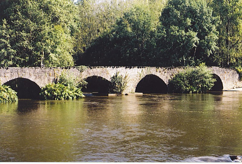
thumb|upright=1.2|Bridge over the river Vézère in the village of Montignac, Dordogne|Montignac
Key facts
- River.name
- Vézère
- River.image
- Vézère vieux pont.jpg
- River.image_caption
- Le Saillant, bridge over the river Vézère
- River.map
- Vézère.png
- River.source1_location
- Plateau de Millevaches
- River.mouth_location
- Dordogne
- River.subdivision_type1
- Country
- River.subdivision_name1
- France
- UNESCO World Heritage Site.WHS
- Prehistoric Sites and Decorated Caves of the Vézère Valley
- UNESCO World Heritage Site.image
- Vezere madelaine.JPG
- UNESCO World Heritage Site.image_upright
- 1.2
- UNESCO World Heritage Site.caption
- Vézère at La Madeleine site
- UNESCO World Heritage Site.criteria
- (i)(iii)
- UNESCO World Heritage Site.ID
- 85
- UNESCO World Heritage Site.year
- 1979
via Wikipedia infobox
Article · Svenska
Vézère är en 211 km lång flod i regionen Nouvelle-Aquitaine i sydvästra Frankrike, biflod till Dordogne. Dess källa ligger i nordvästra Centralmassivet. Floden rinner åt sydväst genom följande departement och städer: * Corrèze: Pérols-sur-Vézère, Bugeat, Uzerche, Vigeois, Brive-la-Gaillarde * Dordogne: Montignac, Terrasson-Lavilledieu, Les Eyzies-de-Tayac-Sireuil, Le Bugue. Den rinner ut i Dordogne nära Le Bugue. En biflod till Vézère är .
Abstract from DBpedia / Wikipedia · CC BY-SA
Gallery (6)
On the map
3 mapped locations