File:Vézère_vieux_pont.jpg · Wikimedia Commons · See Wikimedia Commons
Vézère
Sign in to saveAlso known as Vezere
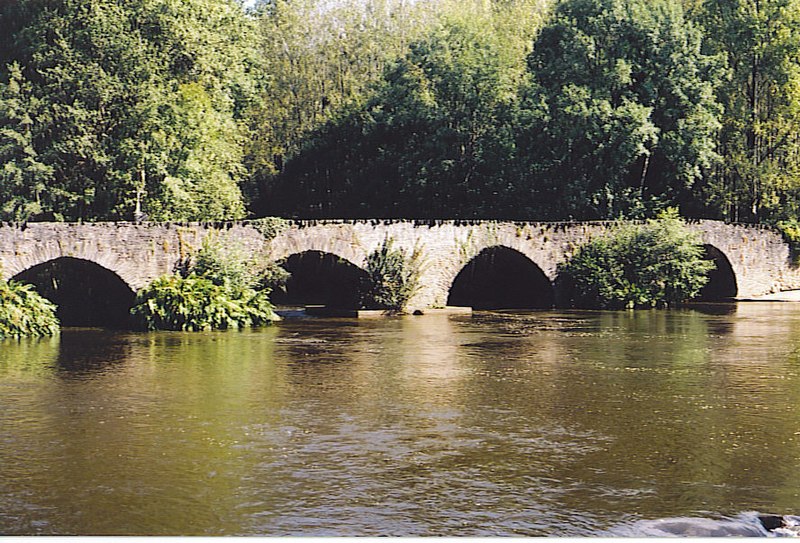
thumb|upright=1.2|Bridge over the river Vézère in the village of Montignac, Dordogne|Montignac
Key facts
- River.name
- Vézère
- River.image
- Vézère vieux pont.jpg
- River.image_caption
- Le Saillant, bridge over the river Vézère
- River.map
- Vézère.png
- River.source1_location
- Plateau de Millevaches
- River.mouth_location
- Dordogne
- River.subdivision_type1
- Country
- River.subdivision_name1
- France
- UNESCO World Heritage Site.WHS
- Prehistoric Sites and Decorated Caves of the Vézère Valley
- UNESCO World Heritage Site.image
- Vezere madelaine.JPG
- UNESCO World Heritage Site.image_upright
- 1.2
- UNESCO World Heritage Site.caption
- Vézère at La Madeleine site
- UNESCO World Heritage Site.criteria
- (i)(iii)
- UNESCO World Heritage Site.ID
- 85
- UNESCO World Heritage Site.year
- 1979
via Wikipedia infobox
~3 min read
Encyclopedic overview
7 sectionsContents
- Geography
- Departments and main communes crossed
- Facilities
- Hydronymy
- Prehistoric sites and decorated caves in the Vézère valley
- References
- External links
thumb|upright=1.2|Bridge over the river Vézère in the village of Montignac, Dordogne|Montignac
The Vézère (; ) is a 211-km-long river in southwestern France. It is an important tributary to the Dordogne. Its source is in the northwestern part of the elevated plateau known as the Massif Central. It flows into the Dordogne from the right near Le Bugue. The river Corrèze is a tributary of the Vézère.
Excerpted from Wikipedia’s “Vézère” article, available under the CC BY-SA 4.0 licence.
Gallery (6)
On the map
3 mapped locations