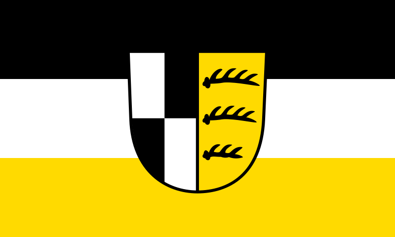
File:Flagge_Zollernalbkreis.svg · Wikimedia Commons · See Wikimedia Commons
Zollernalbkreis
Sign in to saveAlso known as Zollernalb
The Zollernalbkreis () is a Landkreis (district) in the middle of Baden-Württemberg, Germany. The district is located in the Swabian Alb, and contains the second highest elevation of this range, the high Oberhohenberg. In the south-east the district nearly reaches to the river Danube.
Key facts
- German district.name
- Zollernalbkreis
- German district.state
- Baden-Württemberg
- German district.image_flag
- Flagge Zollernalbkreis.svg
- German district.image_coa
- Wappen Zollernalbkreis.svg
- German district.capital
- Balingen
- German district.regierungsbezirk
- Tübingen
- German district.area
- 917.7
- German district.Kreisschlüssel
- 08417
- German district.district_admin
- Günther-Martin Pauli
- German district.admin_party
- CDU
- German district.carsign
- BL, HCH
via Wikipedia infobox
Wikidata facts
- Country
- Germany
- Located in
- Tübingen Government Region
- Contains
- Bisingen
- Capital
- Balingen
- Population
- 188935
- Area
- 917.57
- Shares border with
- Rottweil
- Official website
- www.zollernalbkreis.de
- Image
- Burg Hohenzollern 10-2016.jpg
- Licence plate code
- BL
Show 5 more facts
- Commons category
- Zollernalbkreis
- topic's main category
- Category:Zollernalbkreis
- male population
- 93808
- female population
- 95127
- P11012
- Isopeda parnabyi
via Wikidata · CC0
~5 min read
Encyclopedic overview
8 sectionsContents
- Coat of arms
- Towns (''Städte'') and municipalities (''Gemeinden'')
- Language
- Smuggler
- ''[[Ébéniste|Ébénistes]]''
- Mining
- References
- External links
The Zollernalbkreis () is a Landkreis (district) in the middle of Baden-Württemberg, Germany. The district is located in the Swabian Alb, and contains the second highest elevation of this range, the high Oberhohenberg. In the south-east the district nearly reaches to the river Danube.
The district was created on January 1, 1973, when the two previous districts Balingen and Hechingen were merged.
Excerpted from Wikipedia’s “Zollernalbkreis” article, available under the CC BY-SA 4.0 licence.
Gallery (12)
On the map
3 mapped locations