AI overview
The Ayeyarwady Region is an administrative division in Myanmar (Burma) located in the country's delta area, named after the Ayeyarwady River that flows through it. The region is significant as a major agricultural and economic center, particularly known for rice production and its role in Myanmar's overall development.
AI-generated from the Wikipedia summary — may contain errors.
Article
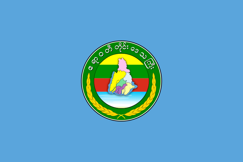
Ayeyarwady Region (Burmese: ဧရာဝတီတိုင်းဒေသကြီး [ʔèjàwədì táiɰ̃ dèθa̰ dʑí], S'gaw Karen: ထံထၣ်စွ့, Pwo Western Karen: ထံၫထၪကျိၩ့; formerly Ayeyarwady Division and Irrawaddy Division) is a region of Myanmar, occupying the delta region of the Ayeyarwady River (Irrawaddy River). It is bordered by the Rakhine State to the northwest, the Bago Region to the north, Bago Region and Yangon Region to the east, and the Bay of Bengal to the south and west.
The region lies between approximately latitude 15° 40' and 18° 30' north and between longitude 94° 15' and 96° 15' east. It has an area of 13,566 square miles (35,140 km). The estimated 2022 population is more than 6.5 million. According to the 2014 Burmese National Census the population of the Ayeyarwady Region was 6,184,829, making it the second most populous of Burma's states and regions after Yangon Region.